Lyell Fork Overnight - Sue & Allyn - July 2007
| Introduction |
| Day 1 |
| Day 2 |
| Photo Album |
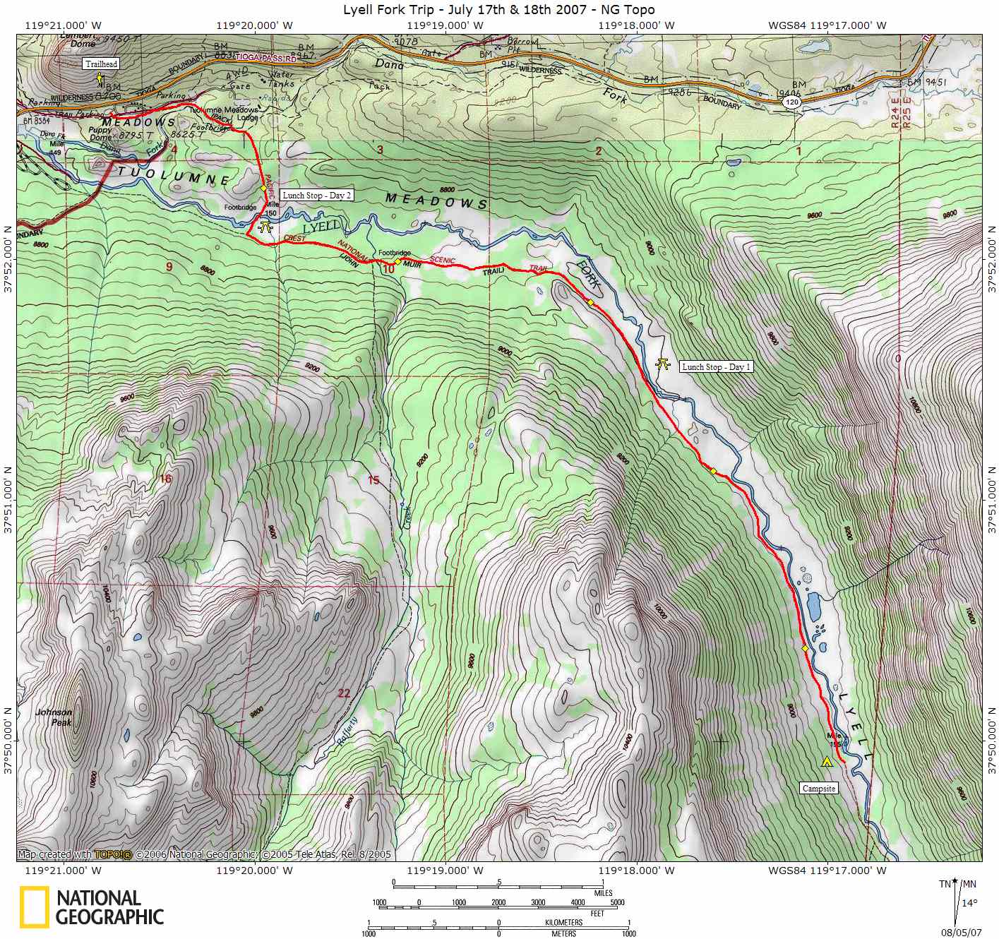
| Map |
| NG Topo Map |
Introduction
This journal describes the backpacking trip my Sue and Allyn took in July of 2007 up the Lyell Fork canyon. A map of our trip can be seen by clicking on the link above or you can download a NG Topo copy of the map if you have National Geographic's Topo software.
Our trip was a quick overnighter up the Lyell Fork of the Tuolumne River about 5-1/2 miles. It was the first trip we had taken together and Sue's first overnighter as well. We chose this trip as a preparation for a trip later that month with my Scott and Jeannie, also up the Lyell Fork. We started out having to hike a little further than planned as the parking lot was full at the trailhead. We had to start at the Wilderness Center instead, adding about a 1/2 mile to each leg of the trip.
Weather
Las Vegas, NV
Sawmill Mountain
Groveland, CA
Yosemite Natl Park
.Clearlake, CA